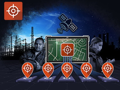
VGPS (Virtual Global Positioning System) or Virtual-GPS is an innovative solution that replicates the GPS data to multiple virtual COM ports, allowing the functionality of different software applications running simultaneously on a rugged device. Seamlessly integrated VGPS extends the compatibility of legacy applications.

One GPS, Multiple Applications
VGPS splits one GPS COM port into multiple for a maximum of 5 software applications at the same time.

Extend the Capability of Legacy Applications
Transition legacy software to new Getac hardware, such as AVL, CAD, or GIS which require COM port interface.

Seamless Integration
Fully integrated with all Getac devices equipped with GPS. Automatically detect the Baud Rate and COM port settings during the installation.
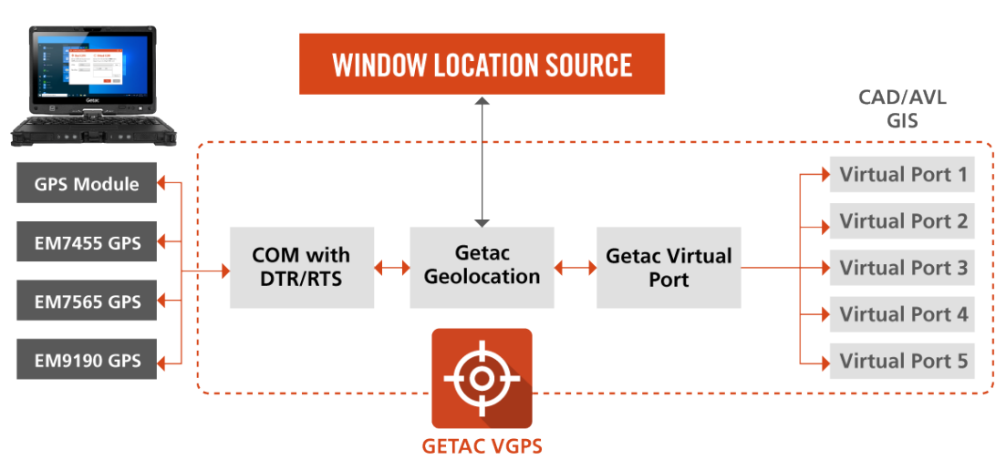
HOW DOES IT WORK?
Getac’s VGPS (Virtual Global Positioning System) can take the GPS data from the physical GPS module and replicate it to multiple COM ports. In addition, VGPS also provides Windows location GPS data and DTR/RTS signals for extensive legacy application support.
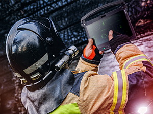
VGPS for Public Safety
Virtual-GPS enables first responders to access multiple GPS applications simultaneously, on a single device. This instantly puts crucial information and intelligence at their fingertips, reducing the cognitive burden on them and promoting effective decision making in high pressure environments.

VGPS for Utilities
Utilities companies heavily rely on Geographic Information Systems (GIS) to enhance their operational efficiency with precision and reliability. Virtual-GPS empowers utility workers to manage and analyse GIS maps, access outage management systems, utilise inspection and maintenance software, whilst monitoring environmental conditions around their assets. All on one device.
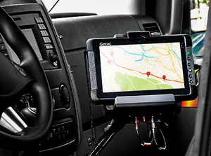
VGPS for Transportation
Telematics systems use GPS to monitor vehicle locations, driver behaviour, fuel usage, and maintenance needs, ensuring optimal fleet operation and reducing downtime.
Virtual-GPS enables a single in-cab device to manage route optimization, passenger handling, telematics, and predictive maintenance applications at the same time. Optimizing fleet operations and improving fuel efficiency.
KEY FEATURES

Up to 5 GPS Applications Simultaneously
Enables use of multiple legacy apps that without VGPS, could not run concurrently due to COM Port restrictions. Thoroughly tested with dual frequency and all satellite types. Optimizes data throughput for compatibility with various legacy apps.

GPS Based Time Calibration
Offers GPS-based time calibration as an alternative to the typical Windows system time calibration with an internet NTP server. Useful in mission-critical situations where internet usage for time calibration may not be allowed. Beneficial for customers who may be restricted from connecting to an NTP server.

GPS Sensor Data for Windows Location API
Both legacy and new apps can use GPS data simultaneously. Maintains maximum compatibility with Windows Ecosystem.

COM Port DTR/RTS Signals
Resolves common issues with integrated GPS modules and ensures GPS data flow to VGPS COM Ports. Functions as the communication bridge between GPS modules and legacy apps.

NMEA Sentence Filtering
Boosts legacy app response rate. Addresses legacy software compatibility issues that can only receive specific NMEA sentences. Reduces the likelihood of dropped sentences.

NMEA Sentence Logs
Records data that allows for location tracking and review through logs. Facilitates quick checks of device modules to ensure their functionality. Logs can serve as a source of compliance confirmation.